Participate in crowd-sourcing events to capture sea level rise data and make a significant impact on understanding and mitigating this global phenomenon. The Sea Level Rise app empowers you to map flooding in your community, providing invaluable data on sea level rise and its effects. Whether you live in a low-lying coastal area or are simply concerned about the future, your contributions can help shape a more resilient future.
Our journey began in Hampton Roads, Virginia, where we've harnessed the power of thousands of volunteers during our annual "Catch the King Tide" events. Thanks to the efforts of these dedicated individuals and the innovative work by Wetlands Watch, the Sea Level Rise app has become a vital tool for fostering a better-informed and connected community. By staying ahead of sea level rise, we can collectively work towards solutions that protect our homes and neighborhoods.
With the Sea Level Rise app, you can:
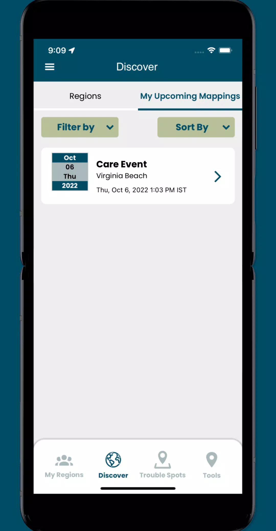
- Join crowd-sourcing events to collect crucial, localized data that researchers and civic leaders urgently need to address sea level rise effectively.
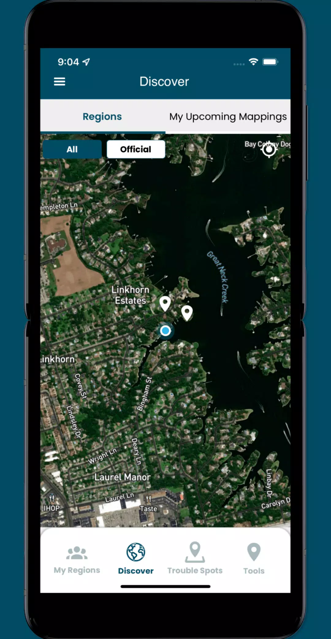
- Identify and report "Trouble" spots where high water disrupts travel during adverse weather conditions, helping to map areas most affected by flooding.
- Capture and share photos to document the real-time impacts of sea level rise in your community, adding a visual dimension to the data collected.
- Engage with specific collaboration spaces, or regions, where you can manage volunteers and organize mapping events to maximize our collective impact.
What's New in the Latest Version 3.0.9
Last updated on Oct 19, 2024
Update the following functionality:
- Implemented minor UI enhancements to improve user experience.
- Resolved several issues throughout the app to ensure smoother functionality.