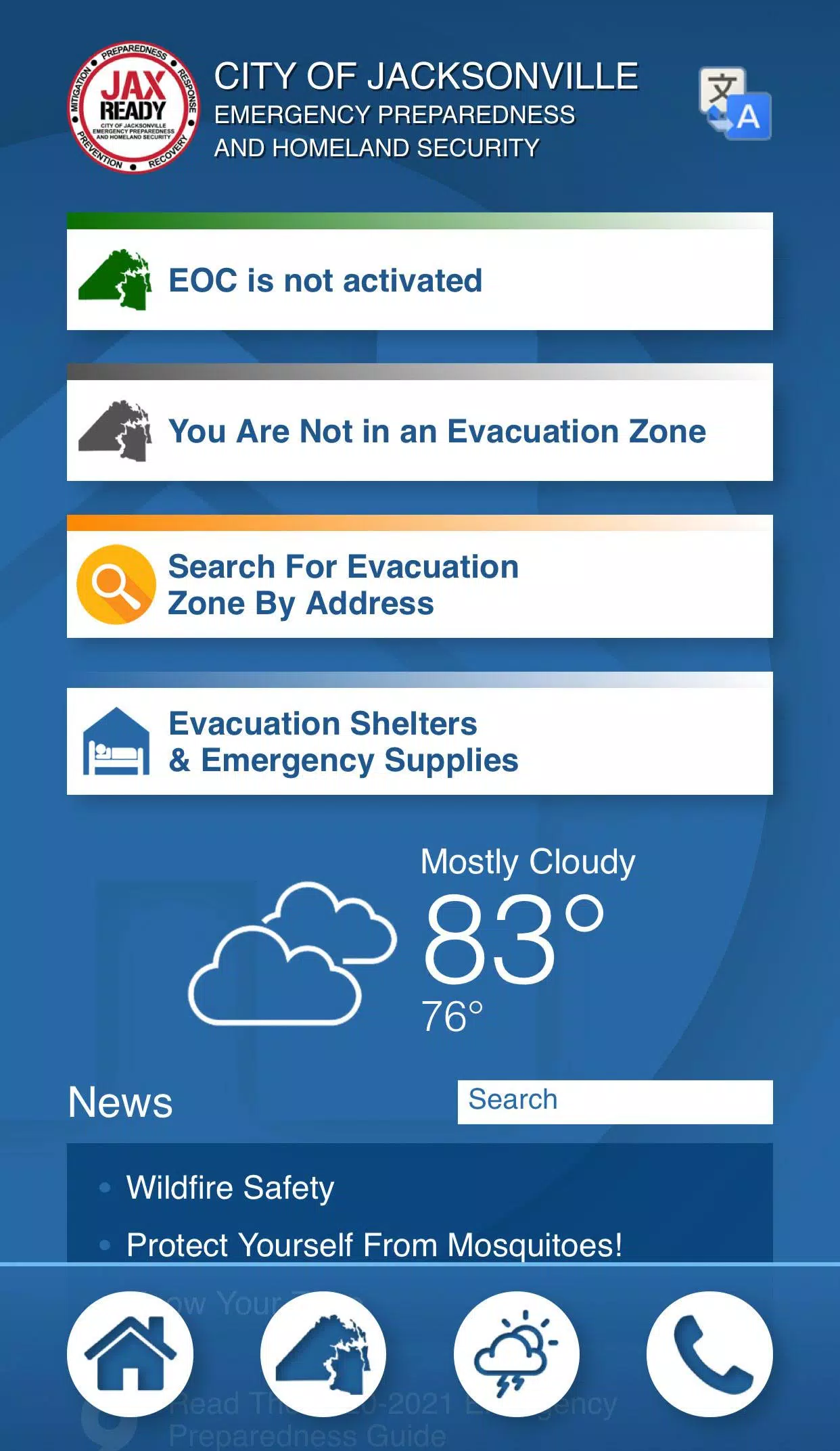
Are you ready? JaxReady, brought to you by the Emergency Preparedness Division and Information Technologies Division of the City of Jacksonville, Florida, is your go-to resource for preparing and responding to natural disasters. This comprehensive tool empowers you to monitor weather threats and plan your evacuation effectively. JaxReady offers real-time access to current threat levels, detailed weather reports, and critical wildfire updates, along with up-to-the-minute news feeds focused on emergency preparedness and evacuation strategies.
Features
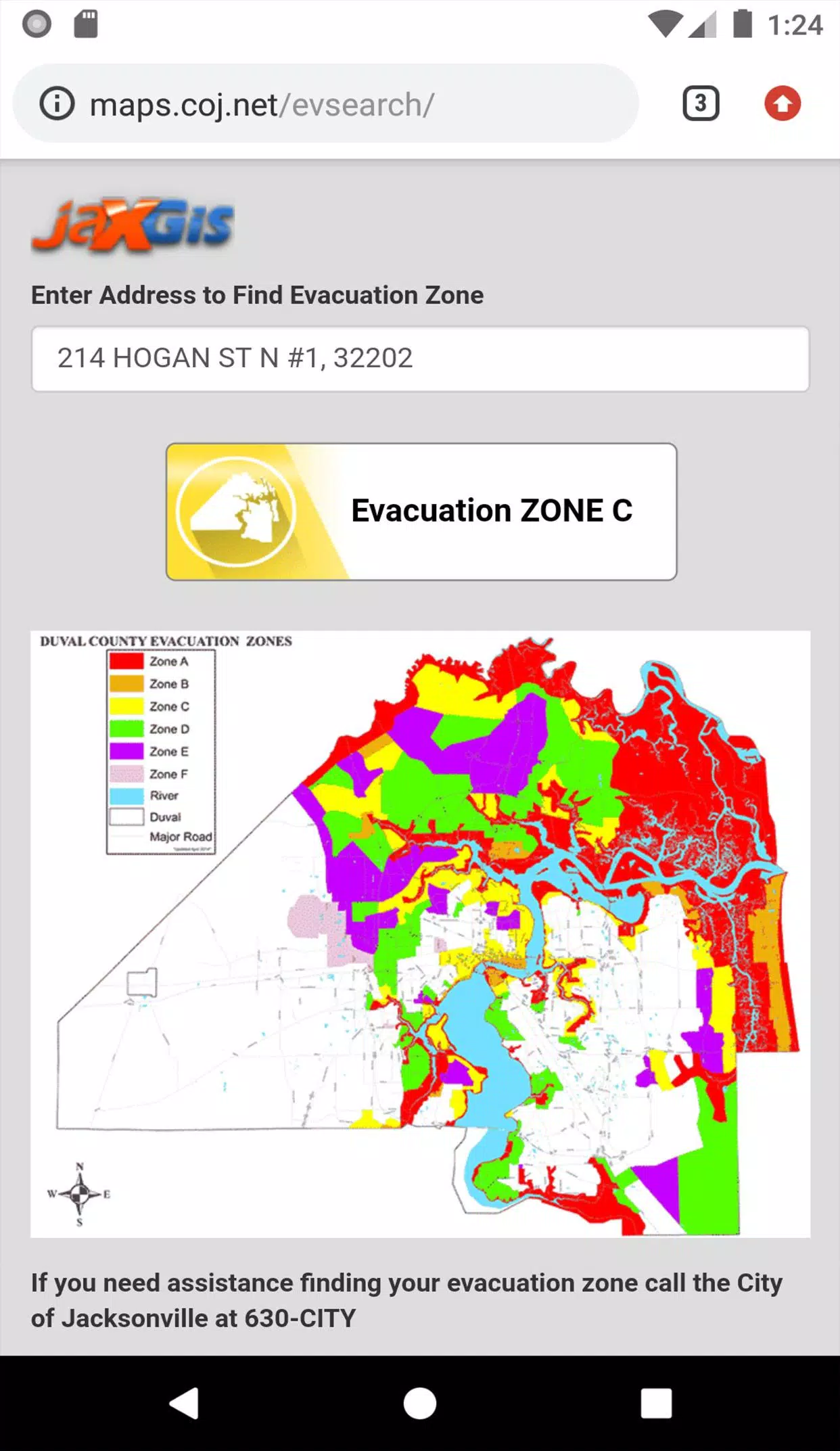
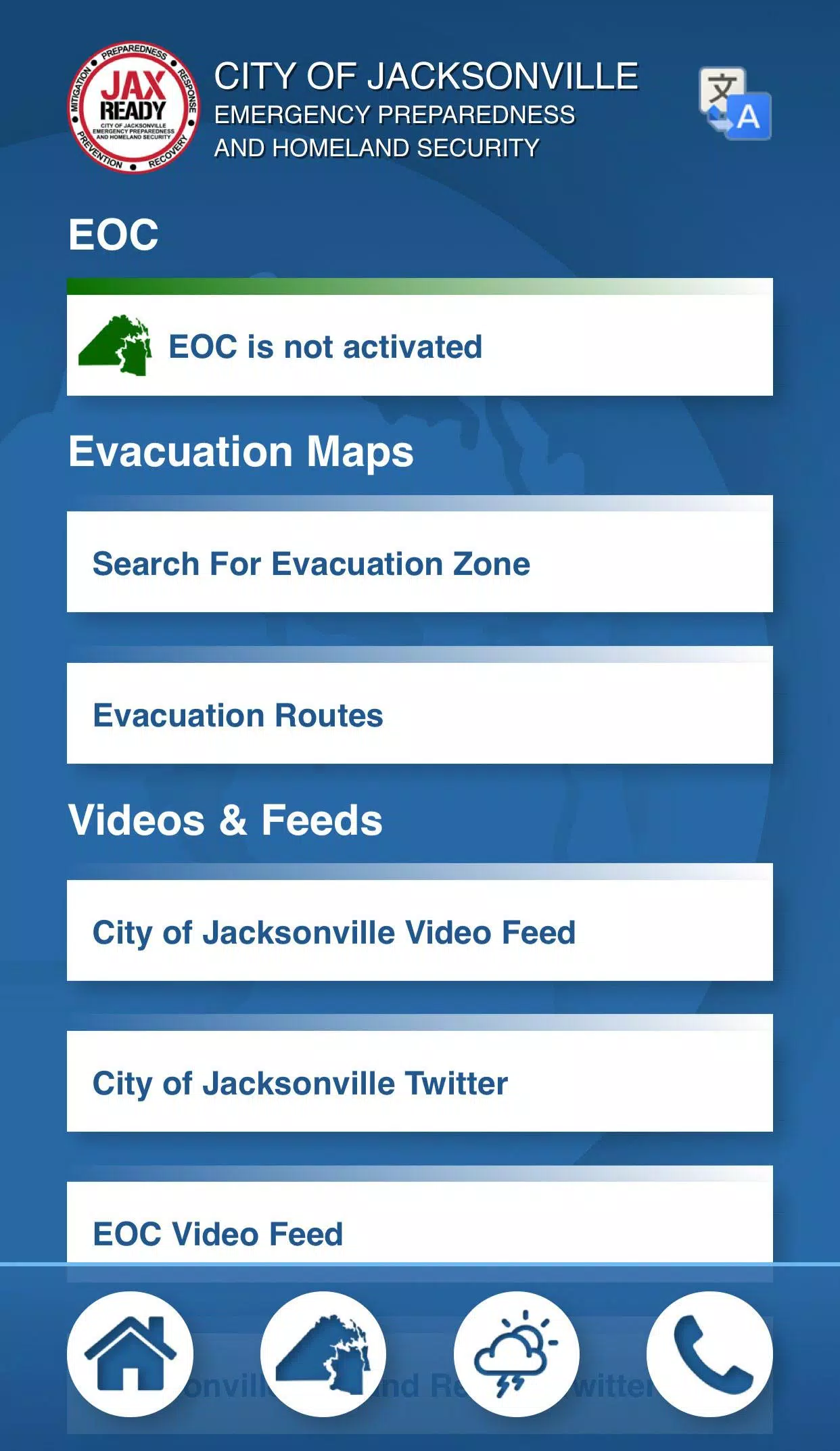
- GPS Functionality: Easily locate your specific Evacuation Zone to ensure you're prepared for any necessary evacuations.
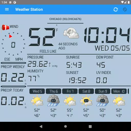
- Real-Time Alerts: Stay informed with the current Emergency Operations Center (EOC) Activation Level, Weather Threat Level, and Fire Danger Index, all tailored to your geolocation for maximum relevance.
- Special Needs Registration: Access links to register for special needs, ensuring that individuals with medical requirements are taken care of during an evacuation.
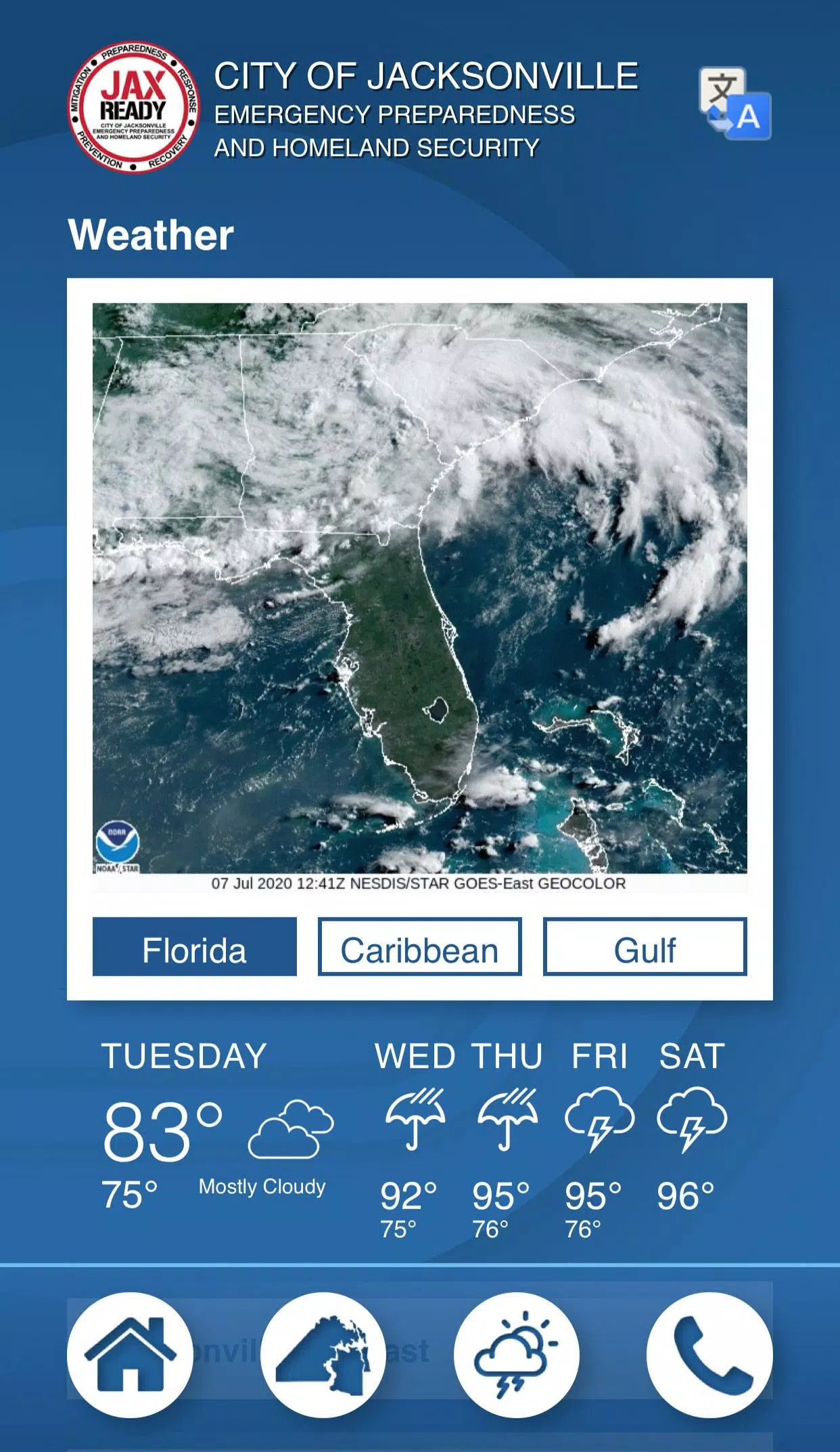
- Comprehensive News: Get the latest updates on weather and fire situations to stay ahead of potential threats.
- Interactive Maps: Utilize weather, wildfire, and drought index maps to visualize and understand the current environmental conditions in your area.
With JaxReady, you're not just preparing for natural disasters; you're staying one step ahead. Whether it's hurricanes, wildfires, or other emergencies, JaxReady equips you with the tools and information you need to protect yourself and your loved ones.